Table of Contents
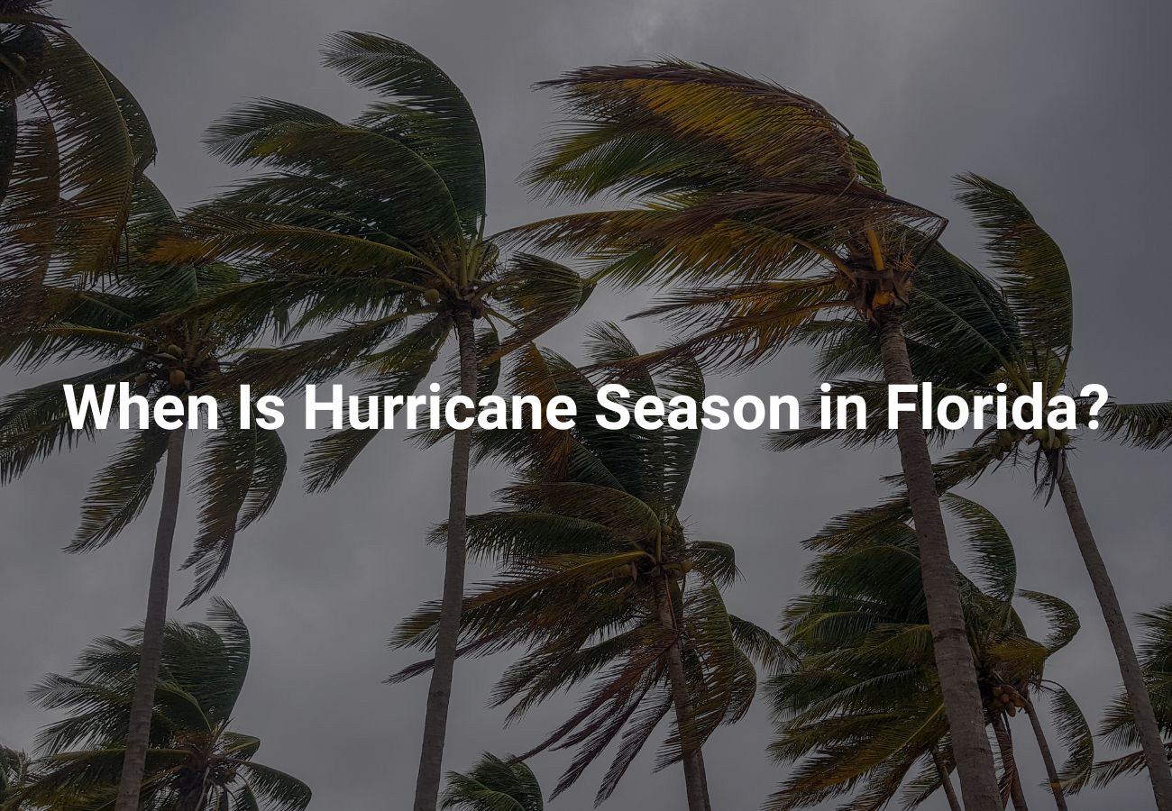
You already know that living in the Sunshine State means more than endless beach days—it also means you must stay alert once Hurricane Season in Florida rolls around. Understanding exactly when the season starts, when it peaks, and how to prepare empowers you to protect your family, property, and peace of mind.
Hurricane Season in Florida: Official Dates and Why They Matter
June 1 – November 30 (The Official Window)
The Atlantic hurricane season officially begins on June 1 and ends on November 30, a six‑month stretch when atmospheric and oceanic conditions are primed for tropical development. Mark these dates on your calendar now so you can set automatic reminders to review your emergency plans each year.
Mid‑August – Mid‑October (The Historical Peak)
Storm statistics show that roughly 70 percent of Florida’s hurricanes form between mid‑August and mid‑October. Sea‑surface temperatures peak, vertical wind shear relaxes, and tropical waves roll off Africa in rapid succession—creating a recipe for rapid cyclone intensification.
Early‑ and Late‑Season Outliers
- June–July: Early systems tend to be weaker but can still produce torrential rain and localized flooding.
- November: Cooler waters reduce risk, yet late‑season storms like Hurricane Kate (1985) prove you can’t completely let your guard down after Halloween.
What Makes Florida So Hurricane‑Prone?
Geography and Warm Waters
Florida is a narrow peninsula flanked by the Atlantic Ocean and the Gulf of Mexico—both warm bodies of water that fuel storm formation. Add nearly 1,350 miles of coastline and you have countless entry points for landfalling storms.
Prevailing Steering Currents
During peak months, the Bermuda High often drives storms westward toward the state. Meanwhile, the Loop Current in the Gulf can super‑charge systems that pass over it, as Hurricane Irma (2017) dramatically illustrated.
Rapid Intensification Hotspots
Certain corridors—like the Straits of Florida—frequently trigger rapid intensification, meaning a tropical storm can jump to major‑hurricane status in less than 24 hours. Knowing these hotspots reminds you why constant monitoring is essential.
Month‑by‑Month Prep Timeline
April–May: Pre‑Season Tune‑Up
- Review your insurance—verify wind and flood coverage.
- Harden your home—install impact shutters, trim trees, and secure loose gutters.
- Assemble a 7‑day supply kit—non‑perishable food, water (1 gallon per person per day), prescriptions, and pet needs.
June–July: Early‑Season Drills
- Test generators and stock fresh fuel with stabilizer.
- Enroll in local alert systems to receive watches and warnings in real time.
- Practice evacuation routes—drive them at night and in rain to reveal hidden hazards.
August–October: Peak‑Season Vigilance
- Monitor daily updates from the National Hurricane Center.
- Photograph valuables and store files in cloud backups for a quicker claims process.
- Top off fuel regularly; gas lines grow long as storms approach.
November–December: Post‑Season Review
- Assess mitigation gaps—did shutters fit, did generator run smoothly?
- Restock your kit by replacing batteries and rotating food.
- Update your plan with lessons learned to stay even safer next year.
Watches, Warnings, and What You Should Do
| Alert Type | Definition | Your Immediate Action |
|---|---|---|
| Tropical Storm Watch | Tropical‑storm‑force winds possible within 48 hrs. | Secure loose items, review evacuation bag. |
| Hurricane Watch | Hurricane‑force winds possible within 48 hrs. | Install shutters, confirm shelter plans. |
| Tropical Storm Warning | Tropical‑storm‑force winds expected within 36 hrs. | Shelter in place or move inland if prone to surge. |
| Hurricane Warning | Hurricane‑force winds expected within 36 hrs. | Complete final prep, evacuate if ordered. |
Evacuation vs. Shelter‑in‑Place: How to Decide
- Know Your Zone: Check county evacuation maps annually—in many coastal counties, zones change as new data emerges.
- Account for Special Needs: If you care for seniors, infants, or pets, evacuate early before traffic slows.
- Follow Official Orders: Local emergency managers base decisions on storm surge modeling and bridge wind tolerances, so heed their directives even if the weather still looks calm.
Protecting Your Finances and Paperwork
- Create a digital vault—scan IDs, insurance policies, titles, and store them securely online.
- Keep small bills on hand—ATMs and card readers may fail after landfall.
- Document damage immediately—use time‑stamped photos to streamline insurance claims.
Understanding Hurricane Categories
Below is a quick‑reference chart showing how the Saffir‑Simpson scale classifies hurricanes and what each category means for you:
| Category | Sustained Winds (mph) | Potential Damage |
| 1 | 74–95 | Minor roof, siding, and gutter damage; large branches snap. |
| 2 | 96–110 | Major roof and siding damage; shallow‑rooted trees uproot. |
| 3 (Major) | 111–129 | Devastating damage; many trees snapped; electricity and water unavailable for days. |
| 4 (Major) | 130–156 | Catastrophic damage; most trees uprooted; power outages last weeks to months. |
| 5 (Major) | 157+ | Extreme structural failure; areas may be uninhabitable for weeks or months. |
Memorize these wind thresholds so you can gauge risk as soon as a storm’s intensity is forecast.
What’s in Store for the 2025 Hurricane Season?
Hurricane season in Florida is approaching quickly, and understanding what to expect in 2025 is crucial for your safety and preparedness. The Atlantic hurricane season officially runs from June 1 through November 30, with the peak typically occurring between mid-August and late October. As a Florida resident or visitor, you need to know what forecasters are predicting for this year’s hurricane activity.
Meteorologists are forecasting an above-average Atlantic hurricane season for 2025. According to recent predictions from Colorado State University, we can expect approximately 17 named storms, 9 hurricanes, and 4 major hurricanes (Category 3 or higher). This forecast surpasses the 30-year average of 14 named storms, 7 hurricanes, and 3 major hurricanes.
The western coast of Florida faces a particularly elevated risk this season. When meteorologists examined similar weather patterns from previous years, they found that Florida’s Gulf Coast from the Big Bend region southward has a higher probability of direct hurricane impacts in 2025. This doesn’t mean the eastern coast is safe, though — all Florida residents should remain vigilant regardless of their location.
Why Is 2025 Expected to Be an Active Hurricane Season?
Forecasters are ringing alarm bells for 2025, and here’s why you should pay attention:
- Warmer‑than‑Average Sea Surface Temperatures
Atlantic waters have stayed 1–2 °C above normal through winter and spring, creating extra fuel that can help storms form earlier and intensify faster. - Neutral‑to‑La Niña Conditions
Climate models point to a transition toward La Niña by late summer, which typically reduces wind shear over the tropical Atlantic—removing a key barrier to hurricane development. - Reduced Saharan Dust Layers
Satellite data shows lower‑than‑usual concentrations of Saharan Air Layer dust, meaning fewer dry‑air intrusions to choke off developing storms. - Active West African Monsoon
A stronger monsoon tends to spawn more vigorous tropical waves—the seedlings of Atlantic hurricanes—giving meteorologists yet another signal of an above‑average season.
Bottom line: With abundant ocean heat, favorable atmospheric patterns, and fewer suppressing factors, 2025 could deliver a higher‑than‑normal number of named storms and majors. Tighten your prep timeline and stay plugged into daily advisories from the National Hurricane Center.
What Are the 2025 Hurricane Names?
The World Meteorological Organization rotates names every six years. Here’s the 2025 Atlantic list you’ll hear on weather reports this season:
- Andrea
- Barry
- Chantal
- Dorian
- Erin
- Fernand
- Gabrielle
- Humberto
- Imelda
- Jerry
- Karen
- Lorenzo
- Melissa
- Nestor
- Olga
- Pablo
- Rebekah
- Sebastien
- Tanya
- Van
- Wendy
Keep this list handy—recognizing a name early helps you track forecasts more effectively.
Stay Ahead of the Storm
When you know Hurricane Season in Florida spans June 1 through November 30—and when you follow a month‑by‑month preparedness plan—you transform anxiety into readiness. Take action today: update your emergency kit, review your insurance, and share these tips with friends and family. Staying proactive is the single best way to keep yourself, your loved ones, and your property safe the next time Florida skies darken.