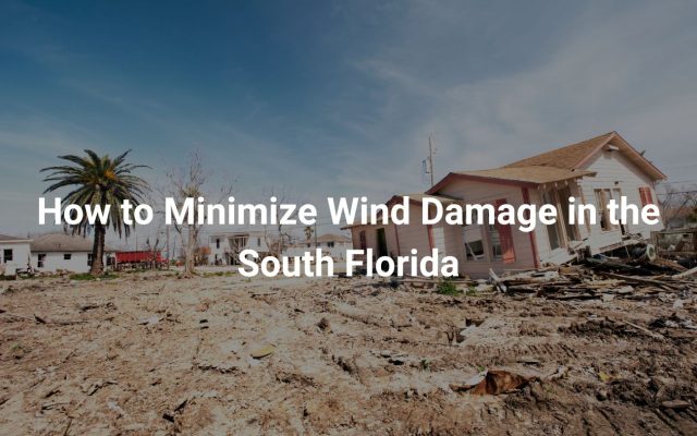
The Atlantic hurricane season, spanning from June to November, poses a significant threat to the state of Florida. With its extensive coastline, no area of Florida is entirely immune from the impact of these powerful storms. Typically, the southeastern coast of Florida and the Panhandle are more susceptible to landfalling hurricanes, though areas like Tampa and Jacksonville also face considerable risk. The peak season generally occurs between mid-August and late October when warm waters contribute to the formation of tropical waves, which can escalate from tropical depressions to formidable hurricanes.
Tropical cyclones are categorized by their wind speeds, with tropical depressions and storms marking the earlier stages, and hurricanes being further classified on the Saffir-Simpson Hurricane Wind Scale. This scale, refined over the years, emphasizes peak winds to assess the potential damage, which ranges from minimal to catastrophic across five categories. These classifications play a critical role in understanding the potential impact and necessary preparedness for communities in the hurricane-prone Atlantic basin.
Effects of Hurricanes
Fierce Winds
Tropical storms and hurricanes are widely recognized for their destructive winds. These are most intense near the hurricane’s core, in the region around the eye known as the eyewall. Winds at hurricane strength can demolish mobile homes and non-permanent structures, often carrying them far from their original locations. Roofs, trees, and electrical infrastructure frequently sustain considerable damage.
A notable example is Hurricane Charley in 2004, which traveled through Florida at an unusually rapid pace of 25 mph. Despite making landfall nearly 100 miles away, the hurricane’s winds reached Orlando, illustrating how Florida’s flat topography permits winds to stay potent well inland. The most powerful hurricanes can have wind speeds exceeding 155 mph.
Storm Surge Dangers
A storm surge is a significant threat posed by hurricanes, characterized by a rise in seawater level. This phenomenon is induced by the force of winds driving ocean water toward the coast as storms approach land. The combined effect of storm surges with high tides and aggressive waves results in severe coastal flooding. In extreme cases, the water level can escalate to about 25 feet above the average sea level, resulting in widespread devastation.
The perils of storm surges are highlighted by the fact that the majority of hurricane-related mortalities come from drowning due to surges and resultant flooding. Coastal residents must be vigilant about evacuation guidelines to minimize risk.
Flooding Risks
Flooding from hurricanes is primarily determined by the storm’s velocity rather than its intensity. Slower-moving storms are capable of dumping vast amounts of rainfall over a particular area, leading to substantial flooding even far from the cyclone’s path. Historical accounts, such as Hurricane Easy in 1950, demonstrate the potential for catastrophic rainfall levels, with estimates suggesting nearly 39 inches over a 24-hour span in Yankeetown, Florida. Despite this large volume, official records acknowledge a lesser amount due to measurement constraints.
Such flooding can extend hundreds of miles from the storm’s center, impacting regions with excessive water even after the storm has dissipated, showing the importance of readiness and awareness of these situations.
Tornado Formation
Tornadoes are also a risk linked to hurricanes. These typically occur in the front-right quadrant relative to the hurricane’s direction. In simpler terms, if imagining the storm as a clock, tornadoes usually form between the 12 o’clock and 3 o’clock area, moving in the storm’s forward direction. Although they generally don’t match the intensity of tornadoes from traditional storms, their rapid movement, often exceeding 50 mph, poses significant hazards.
Additional tornadoes may develop in the far reaches of a hurricane’s outer rain bands, distant from the center, adding another layer of potential danger to areas surrounding the main path of the storm. Residents in at-risk areas should be prepared for the possibility of these extreme weather events during hurricane conditions.
Key Impacts at a Glance:
- Wind Scale: Hurricanes are classified based on their maximum sustained wind speeds, with the most severe categories witnessing speeds over 155 mph.
- Gulf of Mexico & Caribbean Sea: These regions often experience significant threats from hurricanes given their geographic proximity to typical storm tracks.
- Storm Surge & Flooding: Thousands of properties face risk each hurricane season due to elevated water levels and inland flooding.
- Economic Damage: Property damage accrues rapidly as homes, infrastructure, and communities are battered by hurricane forces, necessitating considerable financial investments in recovery and rebuilding efforts.
The Impact of Climate Changes on Tropical Storms
Climate alteration is shaping the characteristics of tropical cyclones, with notable shifts in their behavior and impact over time. Storm surge-induced coastal flooding is expected to rise due to increasing sea levels, irrespective of any potential changes in storm intensity. This heightened threat underscores the pressing need for comprehensive hurricane research and preparedness strategies.
While historical records suggest challenges in pinpointing changes in hurricane rainfall trends, a growing pattern of slower-moving storms is coming to light. Such storms, lingering longer over areas, may lead to prolonged rainfall and subsequently, more severe flooding. As ocean temperatures continue to climb, the maximum potential for a storm’s intensity is on the rise. Consequently, there has been an uptick in the number of storms intensifying rapidly and achieving major hurricane categories (Category 3-5).
Observational data indicate a shift in the geographic zones where hurricanes reach peak intensity. These areas now extend further from the equator and closer to the western regions, particularly nearer to landmasses in the Atlantic. This concept, supported by emerging theories, continues to be an active field of study within climatology.
Despite ongoing research, tropical cyclone frequency in the future remains an area of uncertainty. The mechanisms that govern the annual number of tropical cyclones are not fully understood, presenting a challenge in forecasting. Nonetheless, the continued study of tropical depressions, storms, and cyclones is crucial to deepen our grasp of these powerful natural phenomena and their interaction with shifting climate realities.
Getting Ready for a Hurricane
Preparing for a hurricane involves several important steps to ensure the safety of individuals and property. Understanding evacuation zones is critical; knowing your area’s designation can help when deciding whether to evacuate. Refer to local emergency management agencies, such as the National Hurricane Center or Central Pacific Hurricane Center, for guidance.
Creating detailed plans for family and business is essential. Websites like the Florida Department of Emergency Management provide tools to help customize your strategy, ensuring everyone’s safety. Considerations should include communication plans, supply lists, and emergency contact information.
It’s vital to stay informed through sources like tropical cyclone advisories and tropical weather outlooks from the National Weather Service. These resources offer updates on storm progression, allowing time to implement precautions effectively.
Use the Saffir-Simpson Hurricane Wind Scale to gauge storm severity and potential impacts. This scale can guide decision-making and highlight necessary safety measures.
Emergency supplies are another crucial aspect. An emergency kit should include essentials like water, non-perishable food, medications, flashlights, batteries, and important documents. Keep this kit accessible and ready at all times.
Review and secure your property to minimize potential damage. This might involve installing storm shutters, reinforcing roofs, and securing outdoor items. Consider additional measures if your property is flood-prone.
Stay alert using satellite imagery and advisories from trusted organizations to track changes. Proper planning and awareness can significantly reduce risks associated with hurricanes, ensuring preparedness when facing these powerful storms.